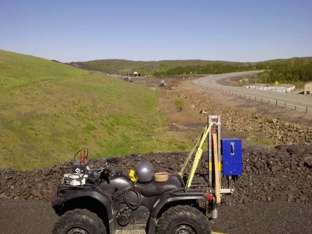
A warehouse expansion near the Ontario International Airport stalled for three weeks because the borehole logs didn’t match the excavation conditions. The owner needed a continuous profile of the stratum beneath the slab—not just point data. That’s where seismic tomography becomes the logical next step. By deploying a 48-channel seismograph array across the pad and triggering shots at five-meter intervals, we map P-wave and S-wave velocity layers down to 30 meters. The result is a tomogram that reveals buried channels, compaction boundaries, and the top-of-competent-rock surface. For sites within the Cucamonga fault zone, this velocity model feeds directly into the IBC Chapter 16 site classification. Geophones and trigger cables get laid out fast, and processing runs in the field so the project doesn’t wait. When the stratigraphy is messy—and in Ontario it often is, with old alluvial fans interbedded with fine sands—a single CPT test won’t resolve lateral changes: the tomogram shows them across the entire transect.
Velocity cross-sections from seismic tomography resolve the top-of-bedrock geometry when standard borings hit refusal at inconsistent depths across the site.
Technical details of the service in Ontario California
Critical ground factors in Ontario California
Ontario sits atop the northern end of the Peninsular Ranges, with the Cucamonga fault running less than eight miles north. The 2008 Chino Hills earthquake—a magnitude 5.4 event centered just twelve miles southwest—rattled unreinforced masonry buildings across the city and reminded engineers that shallow blind thrusts can rupture without surface expression. Relying solely on SPT blow counts to classify the site misses low-velocity zones that amplify ground motion. Seismic tomography delivers shear-wave velocity profiles that are explicitly required by ASCE 7-22 for Site Class determination, and the IBC ties that classification directly to the seismic design coefficients used in the structural analysis. A misclassified site can shift the design spectral acceleration by 20 percent or more. In the Ontario Ranch area where development is accelerating, we’ve run lines across former agricultural parcels and found velocity inversions—soft silt lenses under stiff clay—that boring logs alone didn’t catch. Integrating the tomogram with liquefaction analysis on these sites closes a critical gap before the foundation design is finalized.
Our services
The survey design adapts to the specific question the project asks. Two configurations cover most Ontario applications.
Refraction Tomography Survey
A 24- or 48-channel spread records first arrivals for velocity inversion. Output is a continuous cross-section showing P-wave velocity layers, bedrock topography, and rippability zones. Standard deliverable includes the velocity tomogram, interpreted geologic boundaries, and a summary table with Vs30 values for IBC site classification.
Combined Refraction & Reflection Processing
The same field records get processed twice: refraction for the shallow velocity structure, reflection for deeper stratigraphic horizons. This approach works well in Ontario’s basin environment, where the water table and the contact with weathered granitic rock both produce clear reflectors. The final report merges both interpretations into a single depth section annotated with engineering parameters.
Questions and answers
What does a seismic tomography survey cost for a typical Ontario commercial site?
For a single survey line 100 to 150 meters long with standard processing, the cost ranges from US$2,500 to US$5,950 depending on the number of channels deployed, the source type required to reach target depth, and whether both refraction and reflection processing are specified. Multi-line surveys or sites with difficult access may adjust the total.
How deep can seismic refraction tomography see in the Ontario basin?
With a 115-meter spread and a weight-drop source, we typically resolve P-wave velocity structure to 25–35 meters below grade. Reflection processing on the same dataset can extend the image deeper—often to 60 meters or more—provided a coherent reflector like the groundwater table or the top of weathered granitic rock is present.
Does the survey meet IBC requirements for Site Class determination?
Yes. The processed data includes a Vs30 calculation derived from the shear-wave velocity model, which is the primary parameter for Site Class assignment under IBC Section 1613 and ASCE 7-22. The report provides the velocity profile and the computed Site Class in a format ready for the structural engineer’s submittal package.